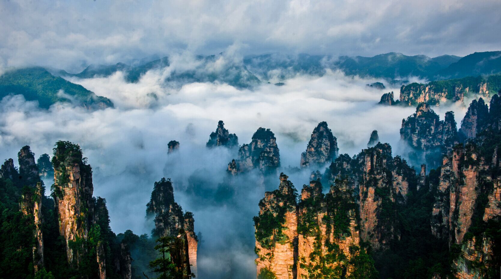
The Yuanjiajie–Yangjiajie traverse
Nine kilometres of ridge between the two most dramatic pillar zones, on a path where you will pass almost nobody.
Almost everyone in Zhangjiajie moves between zones by shuttle bus. The traverse does the opposite: it walks the ridge that connects Yuanjiajie to Yangjiajie, on a stone path about 1.5 metres wide, with pillar forests dropping away on both sides and no queue at either end.
It is not technical. It is long, exposed in places, and has almost no services — which is exactly why it is quiet.
The route, day by day
Bailong Elevator to Yuanjiajie
First elevator up at 07:30. Walk the Yuanjiajie loop clockwise — First Bridge, Hallelujah Mountain, Soul-Dispelling Platform — then keep heading west instead of doubling back. The crowds stop at the last platform; you carry on.
Yuanjiajie → Yangjiajie
The middle section is the best walking in the park: a narrow paved ridge with pillars on both sides, the Natural Great Wall, and long views west. Two and a half to three hours with photo stops. No shops, no toilets, no shade in the middle.
One-Step-to-Heaven, then the cable car
Emerge at the Yangjiajie upper station, detour to One-Step-to-Heaven if the ladder appeals, then take the cable car down (¥76) and a free shuttle back to the Wulingyuan gate.
What to carry
- 2 litres of water minimum. There is nowhere to refill on the ridge.
- Real food — nuts, bars, fruit. This is a five-hour walk, not a stroll.
- Rain shell. Weather turns fast and the ridge is exposed.
- Sun protection. Hat, sunscreen, sunglasses; the middle section has no canopy.
- Offline map. Phone signal is patchy and signage on the connector path is sparse.
If you are running late or the cloud is down, turn back at the Natural Great Wall. From there it is 40 minutes to the elevator and a straightforward descent. Do not commit to the full traverse after 13:00.
When to walk it
April–May and September–October: comfortable temperatures, the best visibility, and dry stone. July–August is hot and stormy; winter can be icy on the shaded sections. Start before 08:00 so you finish with daylight to spare — the park gates close around 18:00 in summer, earlier in winter.
Total cost for the day: ¥227 park pass + ¥72 elevator up + ¥76 cable car down = ¥375.
Common questions
Do I need a guide for the traverse?
Can I do it with children?
What if it rains?
Next: tickets and timing
Prices, booking channels and the passes that actually save money.